
Two river systems shape the county. Over thirty separate locations flooded in Central Bedfordshire alone in a single year. A council Flood Summit convened. And homeowners caught between councils, water companies, and the Environment Agency when the drainage in front of their house fails — and responsibility is never quite clear.
Published June 2026 · RISE Flood Recovery Consultancy
Bedfordshire is a county of contrasts. It encompasses the urban centres of Bedford, Luton and Dunstable alongside rural market towns, river valleys, and commuter villages that have grown substantially in recent decades. That growth — new housing on old floodplains, increasing impermeable surfacing, pressure on drainage infrastructure — has created a flood risk profile that is evolving faster than the systems designed to manage it.
Two river systems define Bedfordshire's flood geography. The River Great Ouse flows through Bedford and its surrounding communities, with a long and well-documented history of floodplain inundation. The River Ivel — a major tributary of the Great Ouse — runs through Biggleswade, Sandy and Shefford. Together they create a network of flood risk that touches communities across the county.
Bedford sits in the floodplain of the Great Ouse. The town has experienced significant flooding on multiple occasions — the 1947 floods that affected much of England, the Easter 1998 floods that produced the highest river level ever recorded at Bedford (1.42m on 11 April 1998), and the Christmas 2020 event that saw severe flood warnings issued and more than 1,300 properties advised to evacuate along the Great Ouse.
Bedford also saw fresh flood warnings on the Great Ouse in September 2024 — the same month that became the wettest calendar month ever recorded in Bedfordshire in a Met Office county series dating back to 1836.
The Environment Agency has invested in flood defence infrastructure around Bedford in recent decades. But as climate change increases rainfall intensity and the frequency of high-flow events on the Great Ouse, the adequacy of existing defences will face growing pressure. Properties immediately adjacent to the river benefit from defence infrastructure. Properties slightly further away — in areas where the floodplain has historically been dry — may find themselves inside the envelope of future flood risk as defence capacity is exceeded.
The River Ivel catchment has seen significant housing development in communities including Biggleswade and Sandy. Development on or adjacent to floodplains — even with modern sustainable drainage requirements — increases the cumulative runoff that drains into the river system during rainfall events.
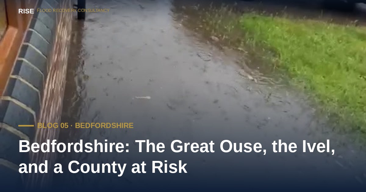
Biggleswade has experienced repeated surface water flooding events in recent years as intense rainfall overwhelms highway drainage and watercourse capacity. These events are typically localised but severe — roads impassable, properties flooded, and the frustrating realisation for affected homeowners that responsibility for the drainage infrastructure that failed them is often unclear or disputed between multiple authorities.
Luton presents a different risk profile. As an urban centre built on rising ground, its primary flood risk is surface water — intense rainfall generating runoff that concentrates in low points, underpasses, and areas where Victorian drainage systems struggle with modern flow volumes.
Urban flash flooding of this kind can be sudden and severe. Unlike river flooding, which typically develops over hours or days and can be forecast, surface water flooding from intense convective storms can overwhelm drainage in minutes. There is rarely enough warning time to move vehicles, let alone protect property.
This is the type of flooding that is increasing fastest across the South East. Insurance data shows summer surface water claims peaking in Greater London, the South East and the East of England — and Bedfordshire sits at the intersection of all three.
One of the most common frustrations for Bedfordshire homeowners who flood is discovering that no single authority accepts clear responsibility. Bedford Borough Council, Central Bedfordshire Council, the Environment Agency, Anglian Water, the Bedford Group of Internal Drainage Boards, National Highways and other authorities all have overlapping responsibilities for different elements of the drainage network. When flooding occurs at the interface of those responsibilities — as it frequently does — homeowners can find themselves passed between organisations with no resolution.
Section 19 of the Flood and Water Management Act 2010 gives councils a statutory duty to investigate significant flooding events. But investigation does not automatically lead to remediation. Translating a Section 19 investigation into concrete infrastructure improvement requires sustained engagement, evidence, and often formal complaint processes — which most homeowners are not equipped to navigate alone. (See the Section 19 Reference Manual for the full statutory framework.)
In May 2025, Central Bedfordshire Council convened its third multi-agency Flood Summit, bringing together the Environment Agency, Anglian Water, the Bedford Group of Internal Drainage Boards, National Highways and the council itself. The summit reviewed flood response and infrastructure progress across the area — and acknowledged that in the previous twelve months, over thirty separate areas in Central Bedfordshire had been affected by flooding.
The Environment Agency is also progressing the Great Ouse Strategic Intervention Study, a major assessment of how the entire Great Ouse catchment can be managed in light of climate change and continued housing growth. Its findings will be used to inform long-term planning and investment for flood schemes across Bedfordshire, Buckinghamshire and Northamptonshire.
This work matters. But public investment in flood infrastructure is reactive by nature — it follows demonstrated harm, not anticipated risk. By the time a scheme reaches the funding queue, properties have already flooded, families have already been displaced, and the damage has already been done.
Three things every Bedfordshire homeowner can do in under thirty minutes — and most never have:
Check your property's flood risk on the updated NaFRA2 data. The Environment Agency's free service at check-for-flooding.service.gov.uk was updated in January 2025 with higher-resolution modelling and the latest climate projections. Properties that previously sat outside any flood zone may now be classified as at risk — particularly from surface water in the Luton and Dunstable area. If you have not checked since then, your property's official rating may have changed.
Find out who is responsible for the drainage in front of your house. Highway gullies are usually the highway authority. Ordinary watercourses are riparian, meaning the responsibility of the adjacent landowner. Sewers are typically Anglian Water. Knowing who to contact — and who to escalate to — is half the battle when something goes wrong.
Look up Section 19 flood investigation reports for your area. Bedford Borough Council and Central Bedfordshire Council both publish their flood investigations. If your area has flooded since 2010, the cause may already have been investigated and the responsible authorities formally identified.
Sources and further reading: Central Bedfordshire Council news release on Third Flood Summit (May 2025); Bedford Borough Flood Forum presentation (November 2021); BBC News coverage of Bedfordshire flooding (Christmas 2020); RiverLevels.uk historical data for the Great Ouse at Bedford; Met Office, Record-breaking rainfall for some this September (October 2024); Environment Agency Check for Flooding service; Bedford Borough Council and Central Bedfordshire Council flood pages.
No obligation. No jargon. By the end of the call you will know exactly where you stand — whether you engage RISE or not.
Available 24 hours, 365 days No callback RISE directly
Live data from the Environment Agency, refreshed every 15 minutes.
Help us focus future content
RISE is researching gaps in publicly available flood recovery information. If you have 90 seconds, your responses help us understand what homeowners actually struggle to find clear answers on — and shape what we write next.
Take the 90-second survey →